Real World Operational State Estimator for Autonomous Vehicles Based on LoD2 Maps
 © GIH
© GIH
| Betreuung: | PD Dr.-Ing Hamza Alkhatib, Mohamad Wahbah, M.Sc |
| E-Mail: | wahbah@gih.uni-hannover.de |
| Jahr: | 2025 |
| Datum: | 13-12-24 |
Real World Operational State Estimator for Autonomous Vehicles Based on LoD2 Maps
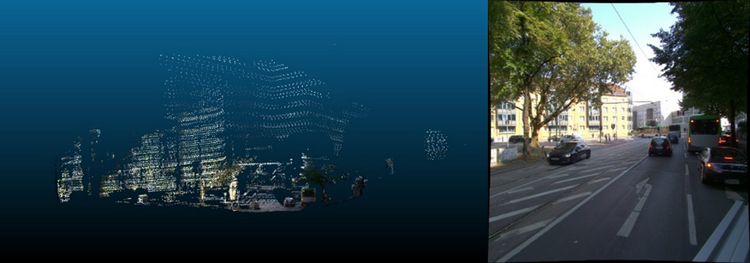
Background: In order to safely and efficiently develop state estimators for sensitive applications, such as in Autonomous Vehicles (AVs), researchers rely on high-fidelity simulated environments. These simulations allow extensive testing of various scenarios without posing any risk to road users. Despite the effectiveness of these simulated environments, the data collected from real sensors is often extremely complex and contain irregularities, noise, and unpredictability that are hard to replicate accurately in simulations. Therefore, to ensure that the state estimators can perform reliably in practice, it is essential to further develop and refine the algorithms using data collected from actual road conditions.
Objective: The objective of this Master’s thesis is to incorporate real sensor data to further develop an existing simulation-based state estimation scheme. The main aims are:
- Investigate the limitations of the previously developed algorithm when paired with real data,
- Develop pre-processing algorithms that alleviate these limitations,
- Suggest necessary additions or modifications to the existing Multi Sensor System (MSS), and
- Assess the real-time capabilities of the newly developed scheme.
Specific Methodology: Using an Error State Kalman Filter (ESKF) framework that was developed in a simulated environment, the student must incorporate real Inertial Measurement Unit (IMU), LiDAR measurements, and Level of Details 2 (LoD2) maps to geo-reference the vehicle position. This will be accomplished by tuning the filter models to increase its robustness against the discrepancies between simulated and real data.
Provided support: The simulated environment, the ESKF, and the real-world sensor measurements.
Recommended pre-requisites:
- Essential: Matlab, Python, Point Cloud processing, Image processing.
- Good-to-know: ROS, C++.


